Cape Flattery WA
Cape Flattery WA: Gallery of many photos of Cape Flattery in Washington, with some historical detail to enhance your enjoyment of the photos and the place.
Cape Flattery makes my Top Ten Olympic Peninsula Attractions at number 3.
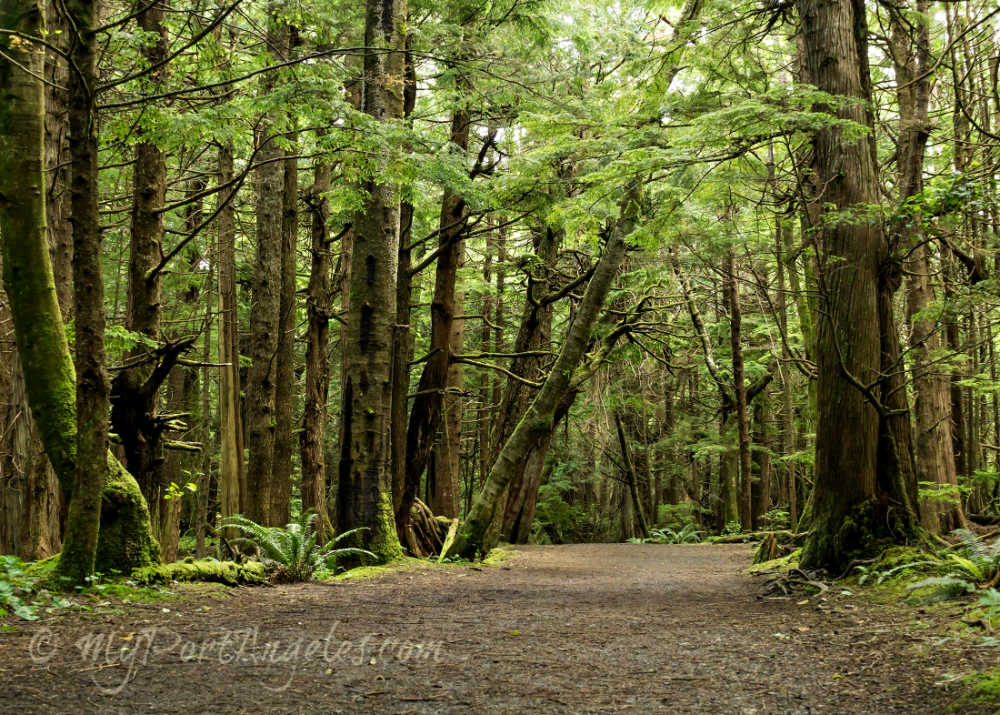
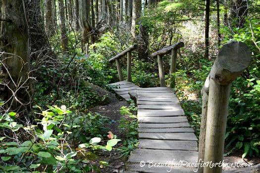
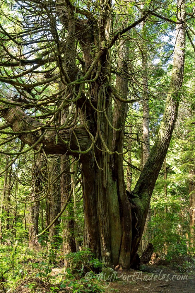
Getting to Cape Flattery involves a 0.75 mile (1.21 km one way) hike from a starting point in the parking lot at the trailhead, which I doubt will take you more than 20 - 30 minutes. The moderately easy trail winds through quintessential Pacific Northwest temperate rain forest. The views at the other end will likely take your breath away...!
NOTICE: The Makah Reservation is Closed to Tourism until October, 2021
Just as I'm making excited plans to return to Neah Bay and Cape Flattery after a year-long Covid closure, we have learned that the Elders are continuing the closure of the entire Makah Reservation, including Neah Bay and Cape Flattery, until fall, 2021. We understand, but.... Bummer!
We're sorry you won't be able to visit this fabulous area during the 2021 tourist season! But for now, you can at least scroll down and check out the info and photos on this page and on the Neah Bay WA page.
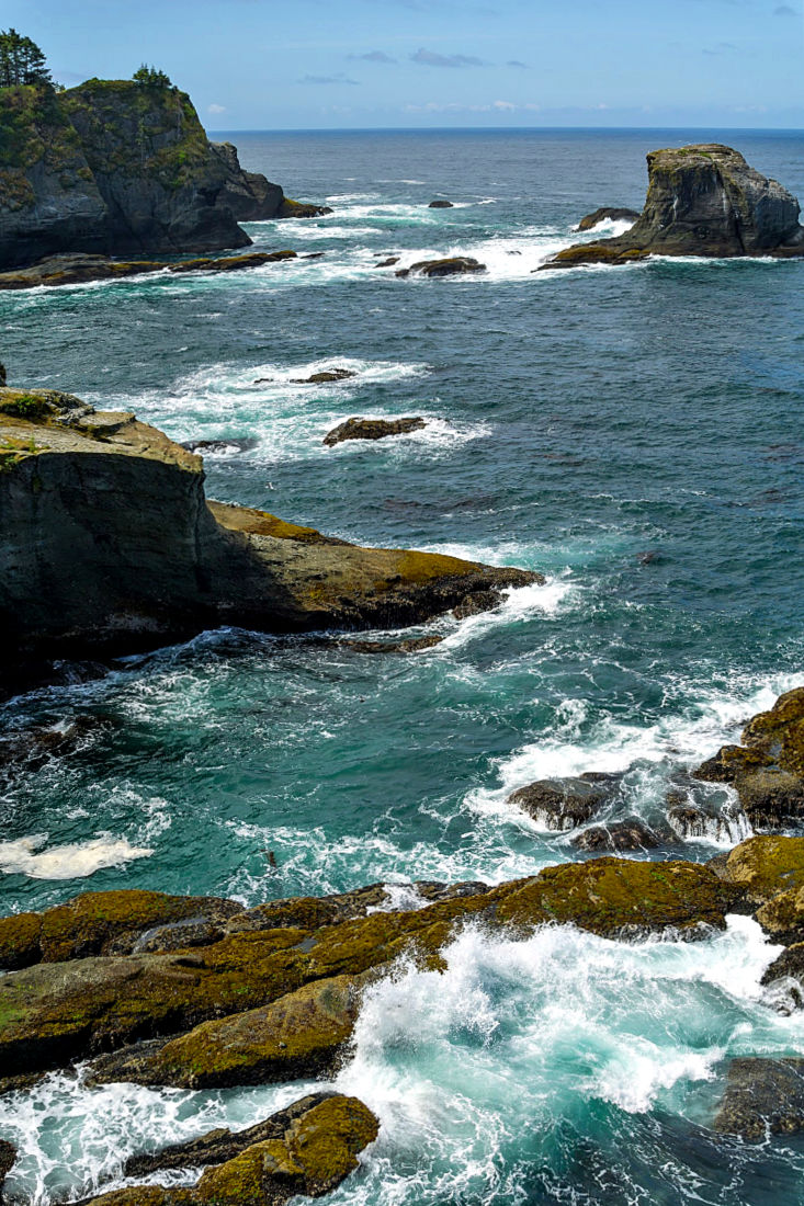
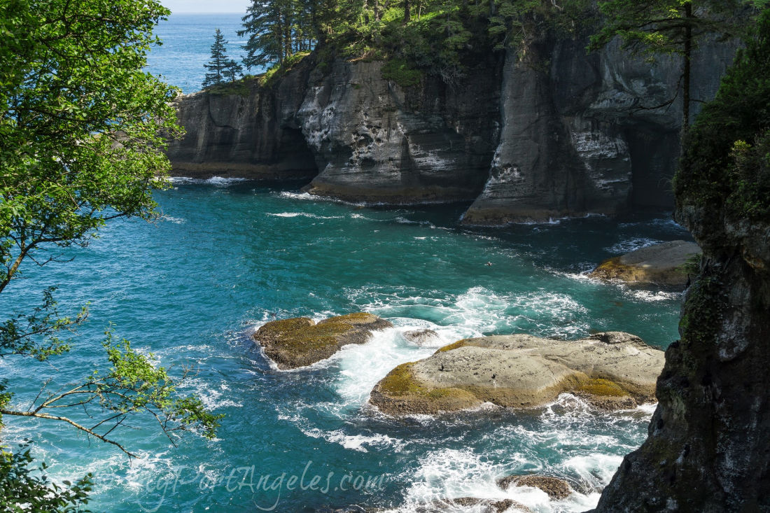
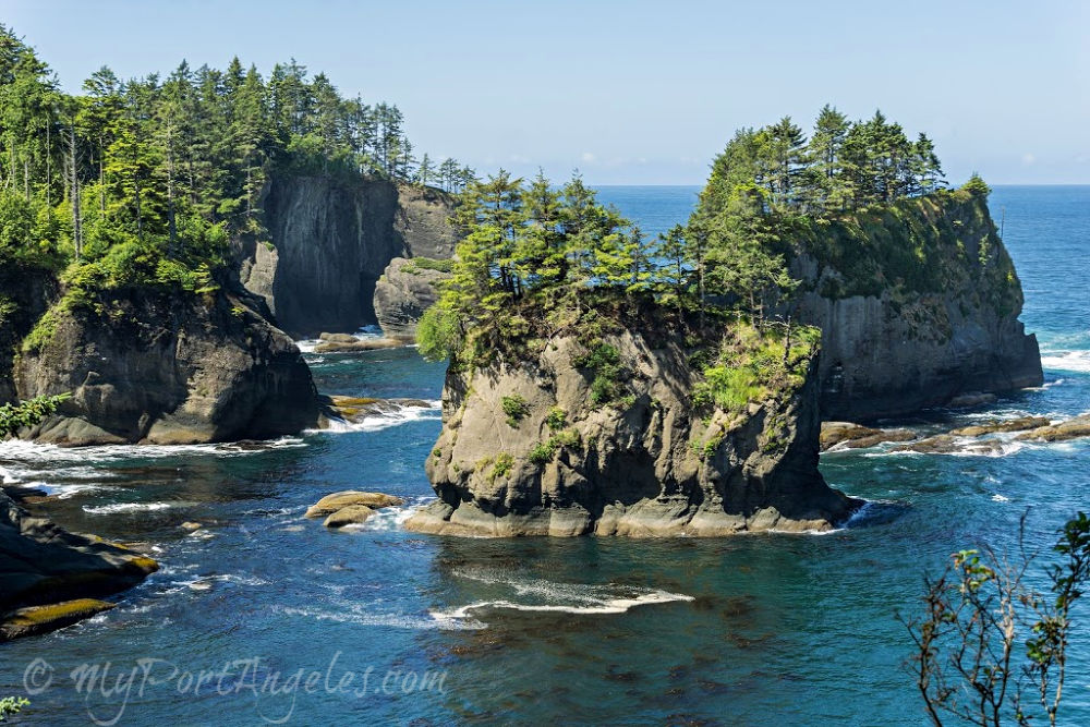
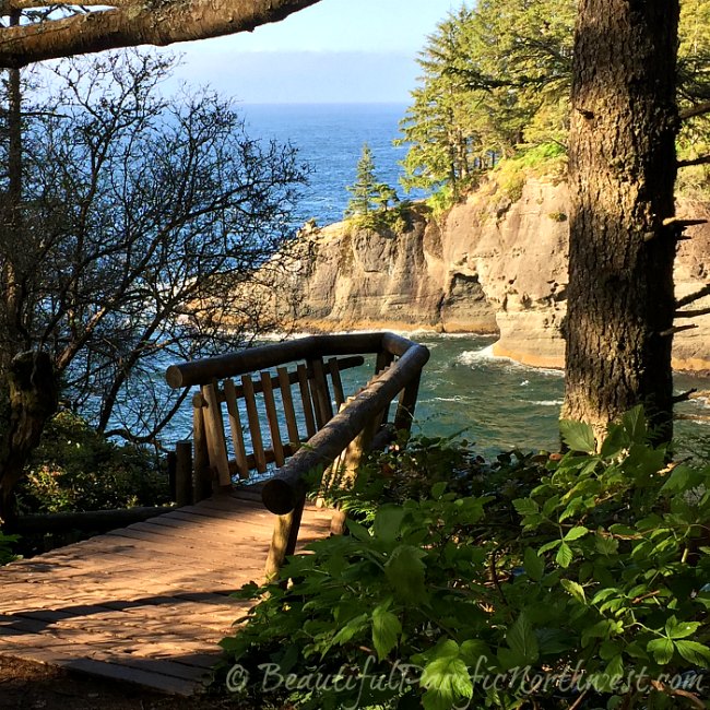
<<< Pictured at left: The dramatic cliffs of Cape Flattery with the Pacific Ocean in the background. Cape Flattery is located within the Makah Reservation on the northwest tip of the Olympic Peninsula.
Tripadvisor Reviews of Cape Flattery Trail in Neah Bay WA
Yelp Reviews of Cape Flattery in Neah Bay
A Makah Recreation Pass is required to park at the trail head.
Getting There
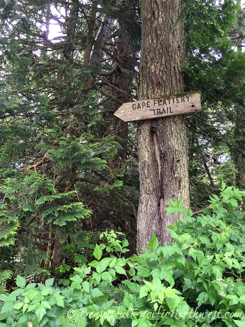
In Neah Bay, Cape Flattery Road turns into Cape Loop Road. Near the end of Cape Loop Road is a sign directing you to the parking lot for the Cape Flattery Trail. The Cape Flattery Trailhead itself is marked with a wooden sign pointing you towards the trail.
Cape Flattery Trail to the Cliffs of Cape Flattery
Click on any photo to open the Cape Flattery WA photo gallery in full size.
Getting There is Half the Fun
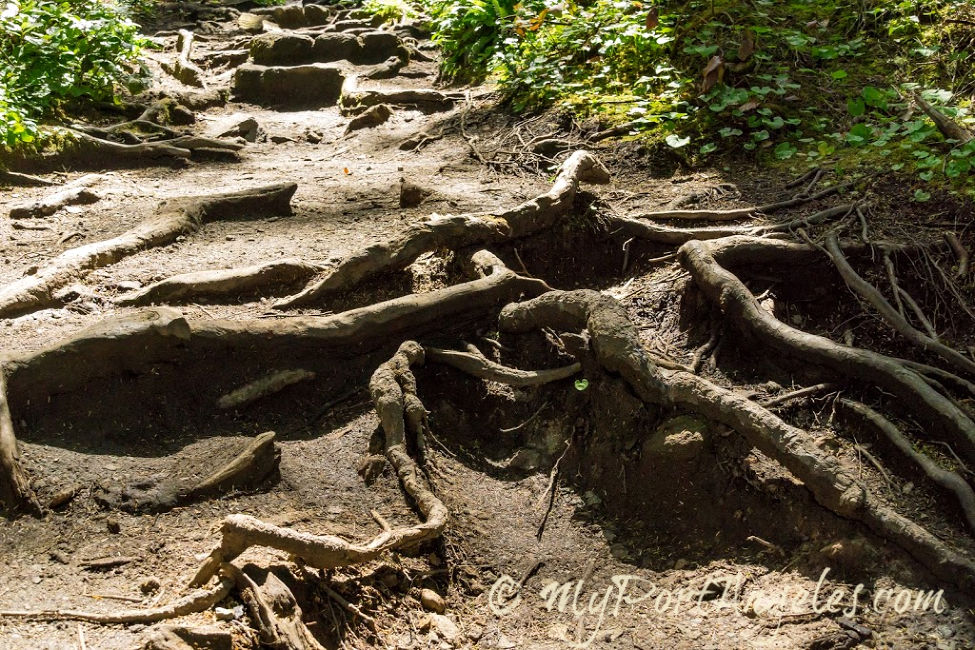
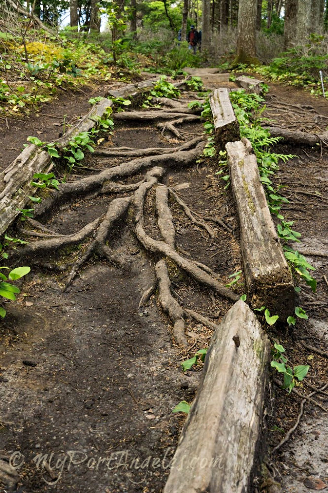
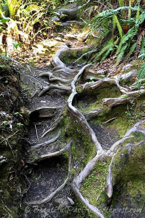
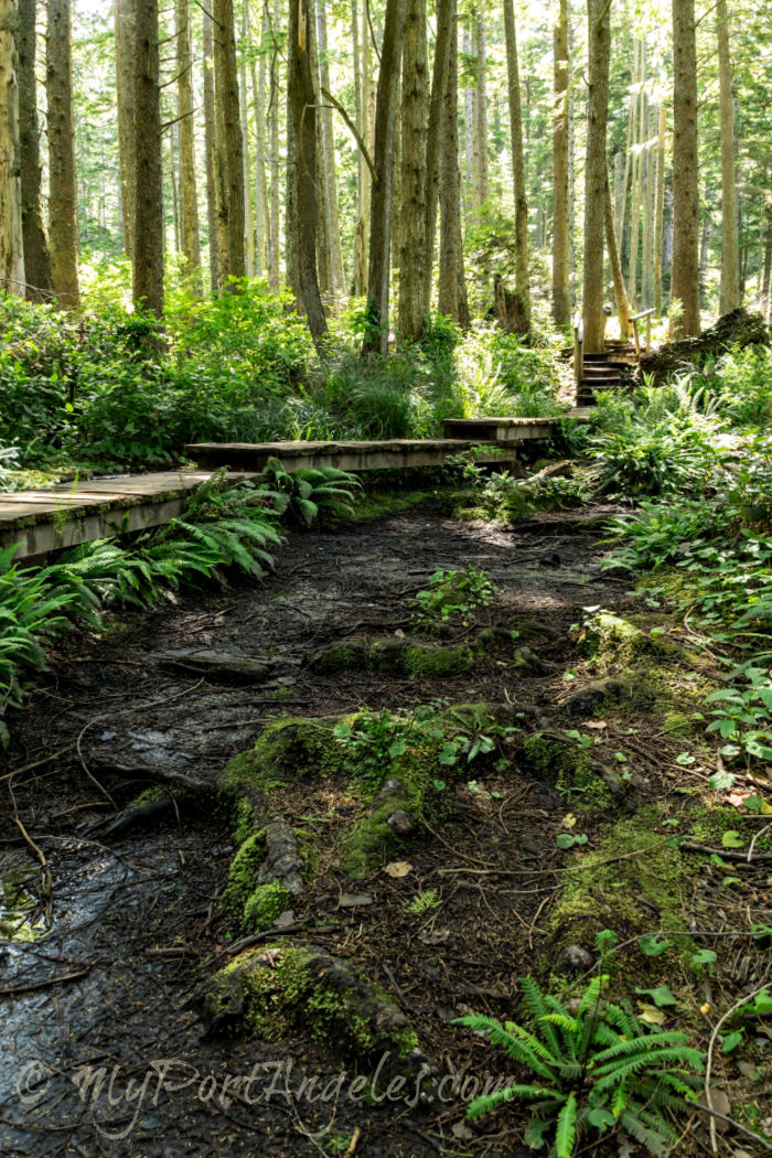
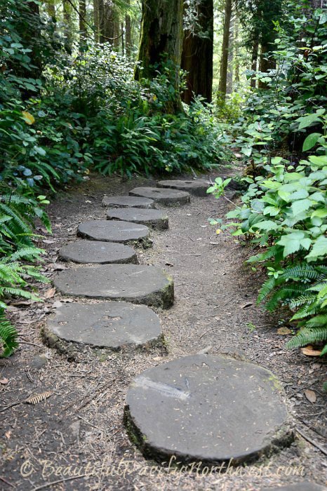
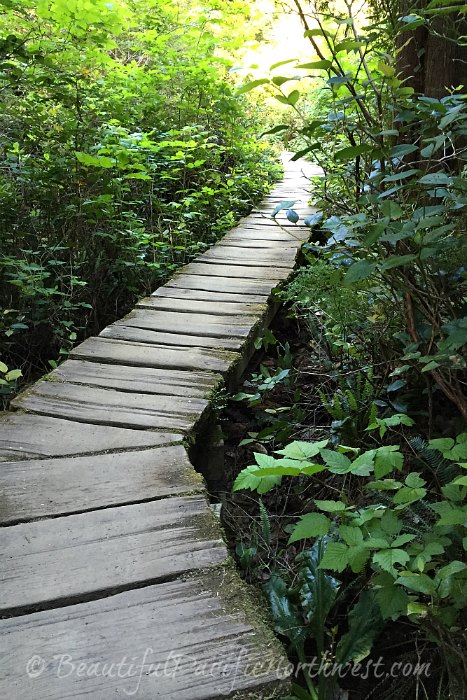
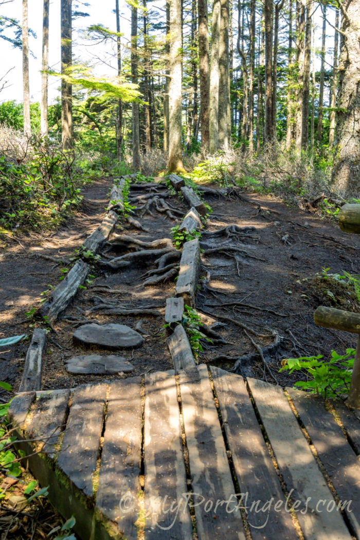
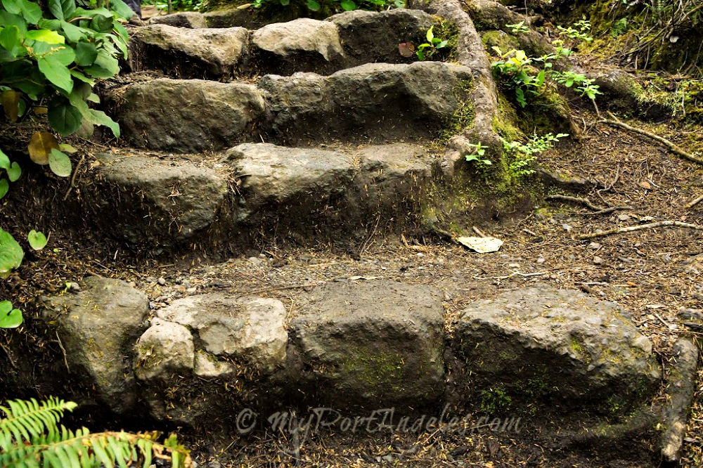
Trails that are only wide and level can be boring. The Cape Flattery WA trail is anything but. Watch your step; some stretches of the Cape Flattery Trail can be treacherous!
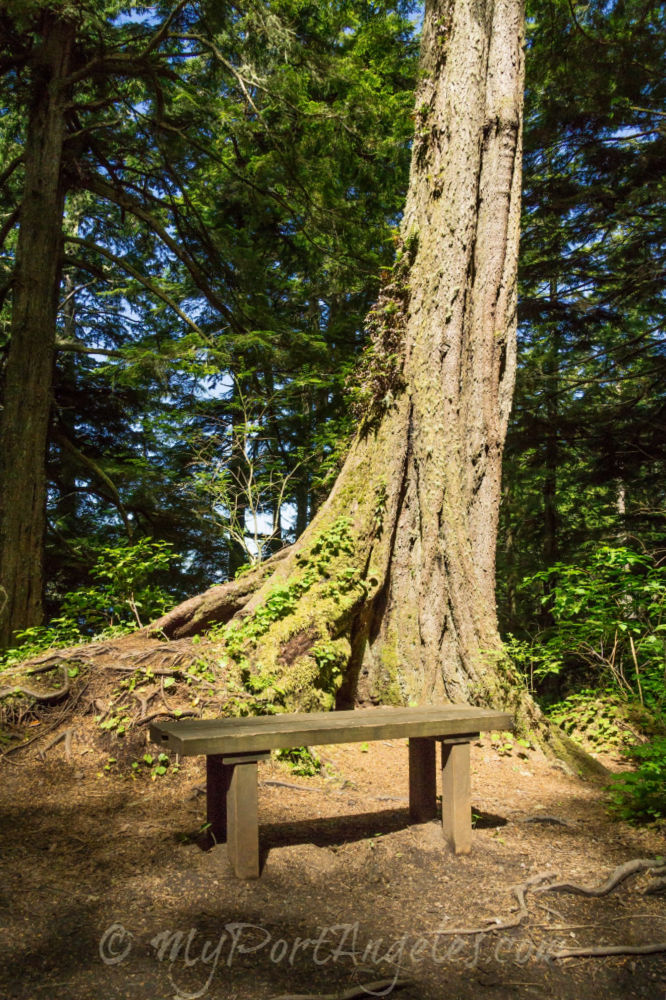
Cape Flattery Trail "Amenities"
Cliffs of Cape Flattery WA
At the far end of the trail, you will have arrived at the westernmost point of the lower 48 states.
Where to look first?!? From an elevated platform, you are rewarded with panoramic views from the southwest to the northwest, taking in the Pacific Ocean and Tatoosh Island.
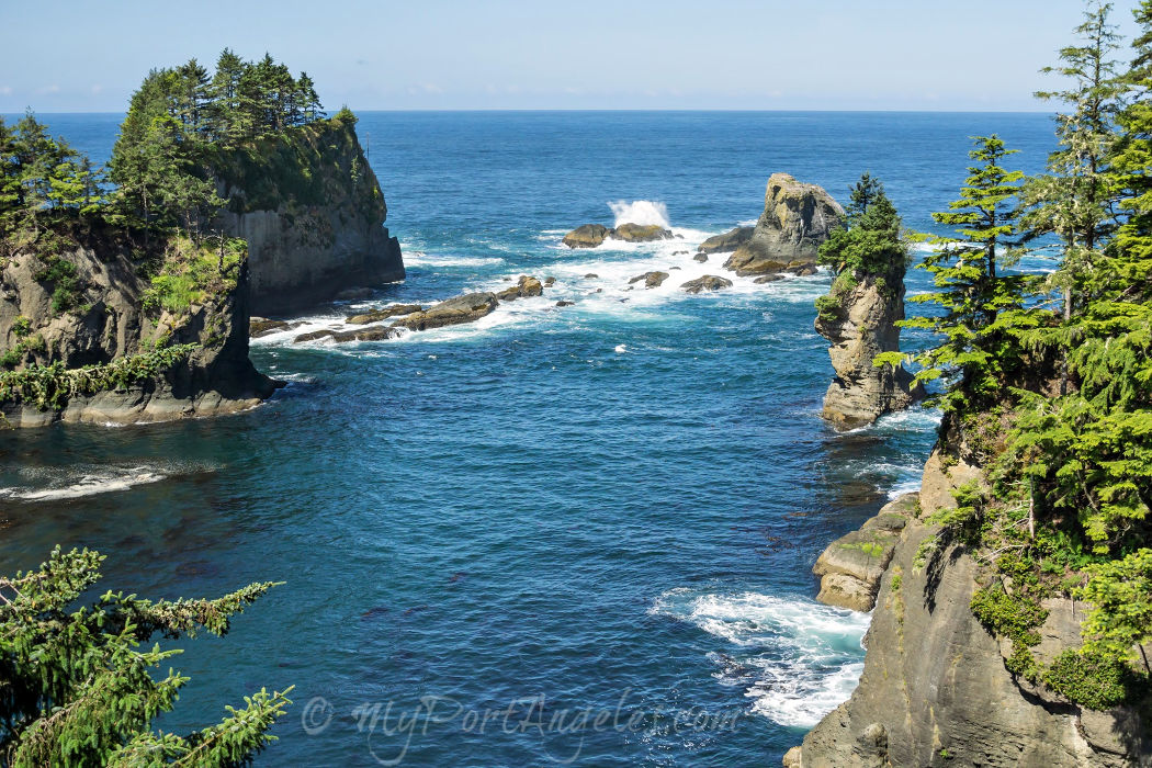
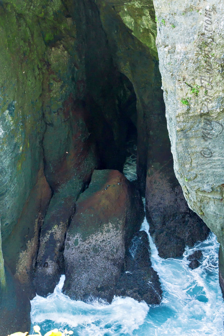
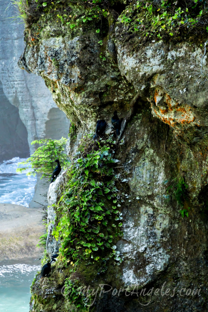
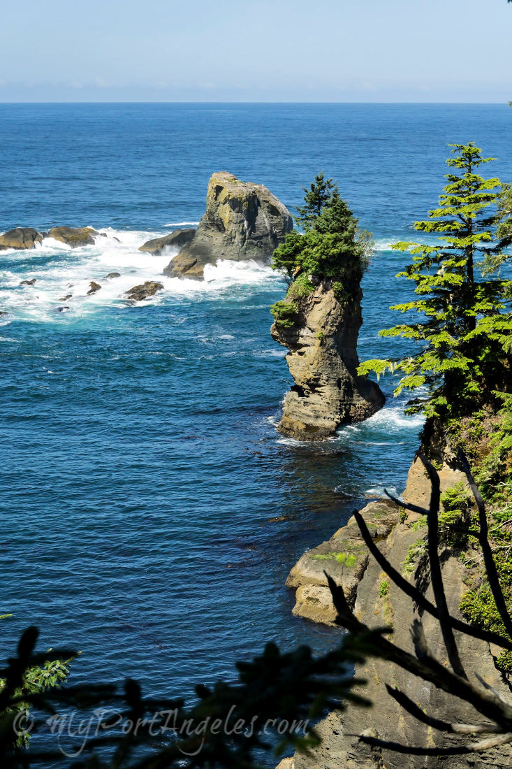
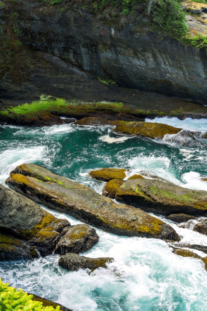
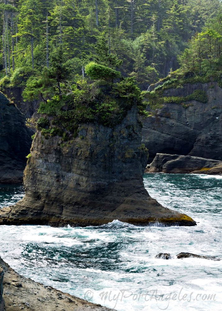
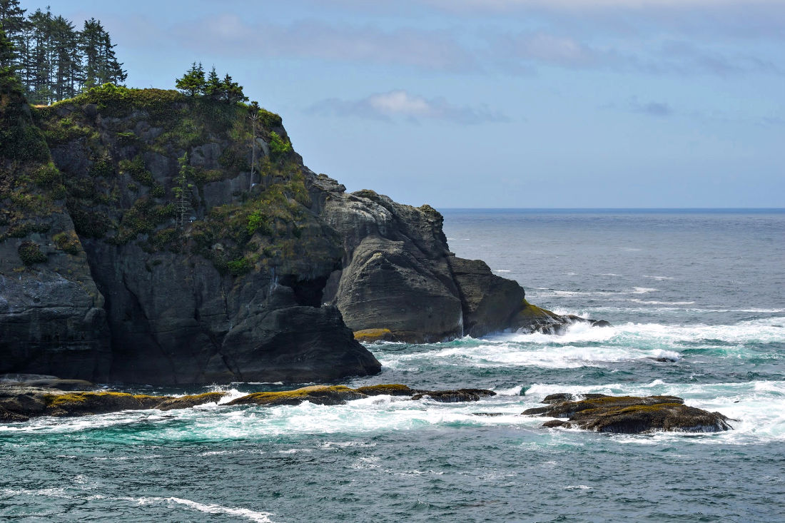
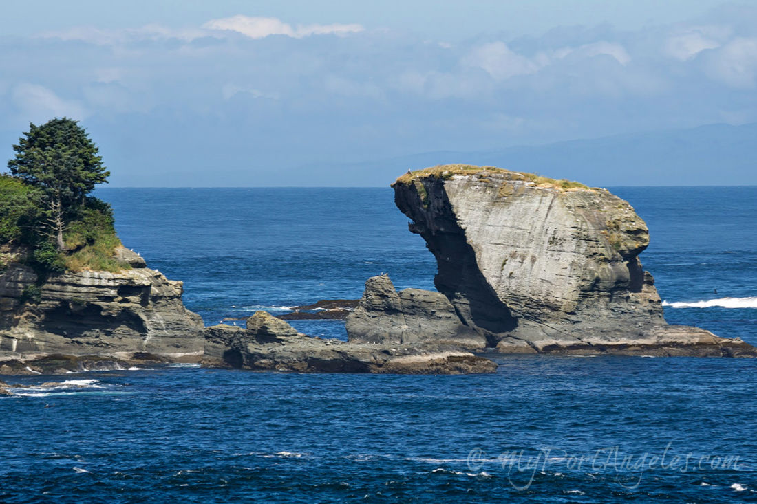
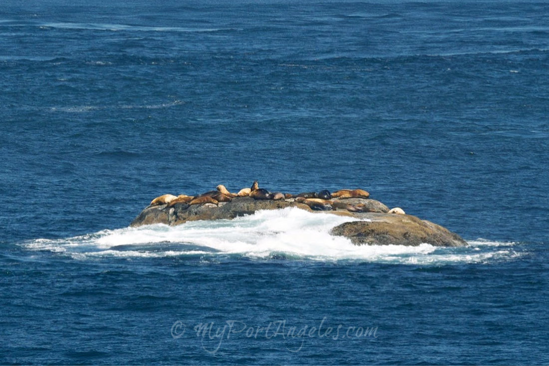
Additionally, sea lions, seals and even whales can be seen from various railed platforms at the edges of the towering cliffs across which you have just hiked. Dramatic sea-stacks are alive with cormorants and sea gulls clinging to cliff edges. Wild waves below have crashed against these cliffs for millennia, undercutting and eroding their bases creating rocky caves and coves below. Stand still and wait for a moment or two - you'll feel the power of the waves under your feet when the next one slams into the cliffs.
Cape Flattery Views toward the North
Cape Flattery Views to the West-Southwest
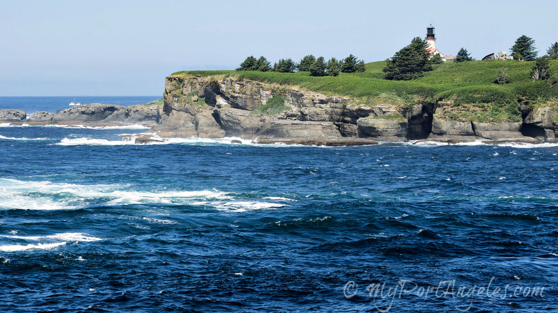
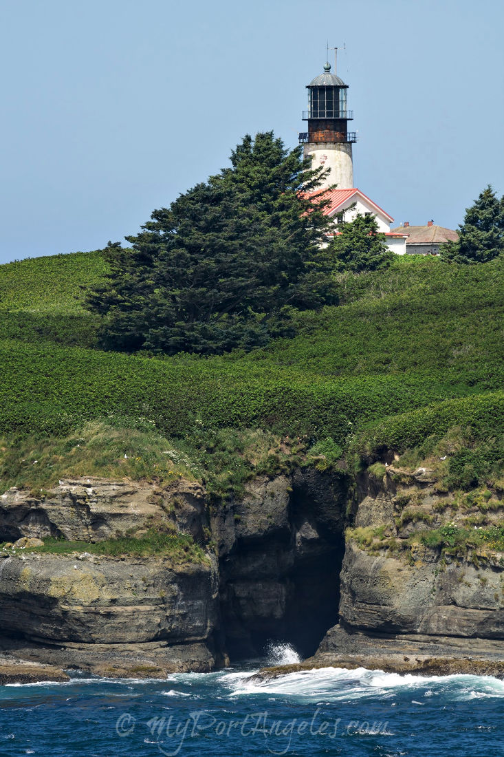
Cape Flattery Views toward the West: Tatoosh Island and Tatoosh Lighthouse
Tatoosh Island Lighthouse was first constructed in 1857 by the US Coast Guard, who purchased the island from the Makah Nation. Named for a Chief of the Makah Nation, Tatooche, the island was used as a summer base for hunting whales and salmon fishing. The lighthouse is now automated and the Island was returned to the Makah Nation, who maintain the grounds that are still considered highly sacred.
Tatoosh Island is oriented west-northwest of Cape Flattery.
Consider bringing a good telephoto lens or binoculars!
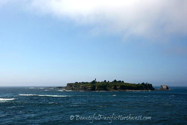 Tatoosh Lighthouse guards the tip of Cape Flattery WA from the vantage point of Tatoosh Island.
I don't know how it will be for you, but I have a hard time pulling myself away from this awe-inspiring place. You may know what I mean when you see it.
See Beautiful Olympic Peninsula Travel Guide for:
- Top 20 Attractions, page 18
- Neah Bay, page 163
- Cape Flattery WA, pages 166-168
