Olympic Peninsula
Olympic Peninsula. Overview of population centers, destinations, and attractions of the Peninsula, with links to the Olympic National Park and Port Angeles, Washington.
The Peninsula is huge! It comprises 3,600 sq mi, of which approximately 1,440 square miles are dedicated to the Olympic National Park.
Port Angeles is the Hub of the Olympic Peninsula
What follows is an overview of nearly all that the Olympic Peninsula offers, with links to specific details. We'll break it down into North, West, South, and East Peninsula.
Port Angeles on the Olympic Peninsula
Towns in the North Olympic Peninsula
Port Angeles
Port Angeles is the seat of Clallam County in the north Olympic Peninsula, the main population center, and the main hub of the Olympic Peninsula. A visit to Port Angeles opens up so many tourism possibilities both in Port Angeles and in the nearby areas of the Olympic Peninsula!
- Downtown art and sculpture walk
- Historical Underground Tour
- Olympic Discovery Trail
- Salt Creek Recreation Area
- Whale Watching
- Excursion to Victoria Canada via the Coho Ferry
- Olympic National Park Visitor Center
- Crab Festival in October
- In October: Head to the Sol Duc Valley and observe salmon spawning
- Drive the Highway 101 Loop
- If time allows or your interests dictate, the San Juan Islands may beckon.
- Read on for tourism opportunities on the rest of the Olympic Peninsula...
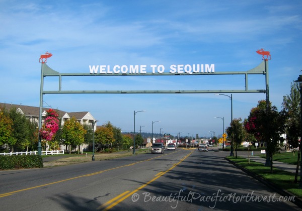
Sequim
Sequim: Occupies the heart of the Olympic rain shadow in the North Olympic Peninsula. Sequim is located 17 miles to the east of Port Angeles.
- Dungeness National Wildlife Refuge
- Dungeness Audubon Center and Railroad Bridge Park
- Olympic Game Farm
- Lavender Farms and all things lavender
- Sequim Lavender Festival in July
Details about Sequim attractions and much more are here.
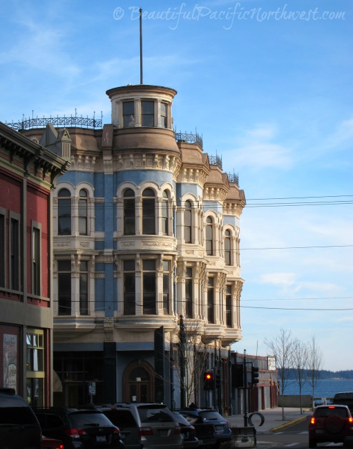
Port Townsend
Port Townsend is a National Heritage site in the northeast Olympic Peninsula with a very active cultural scene. Port Townsend is a popular getaway destination for those living elsewhere, whether in the greater Seattle area or farther afield. We on the Peninsula also love visiting Port Townsend, WA.
Things to do in Port Townsend:
- Jefferson County Historical Society Museum
- Whale Watching
- Arts, Theater, Dance, Music, Blues and Jazz
- Northwest Maritime Center
- Rhody Festival in May
- Wooden Boat Festival in September
Details of Port Townsend attractions and much more are here.
"The West End" of the North Olympic Peninsula
Clallam County Washington takes up nearly the entire north Olympic Peninsula. The western half of the county is known locally as the "West End."
Clallam County WA is our overview of the West End - from Joyce westward to Neah Bay. Population levels are very sparse, but there are several really special places.
Because of the West End's sparse population, or perhaps because you simply like to camp, you may find yourself looking for a place to camp. Check out Olympic Peninsula campgrounds. The link includes camping opportunities throughout the Olympic Peninsula, not just the West End.
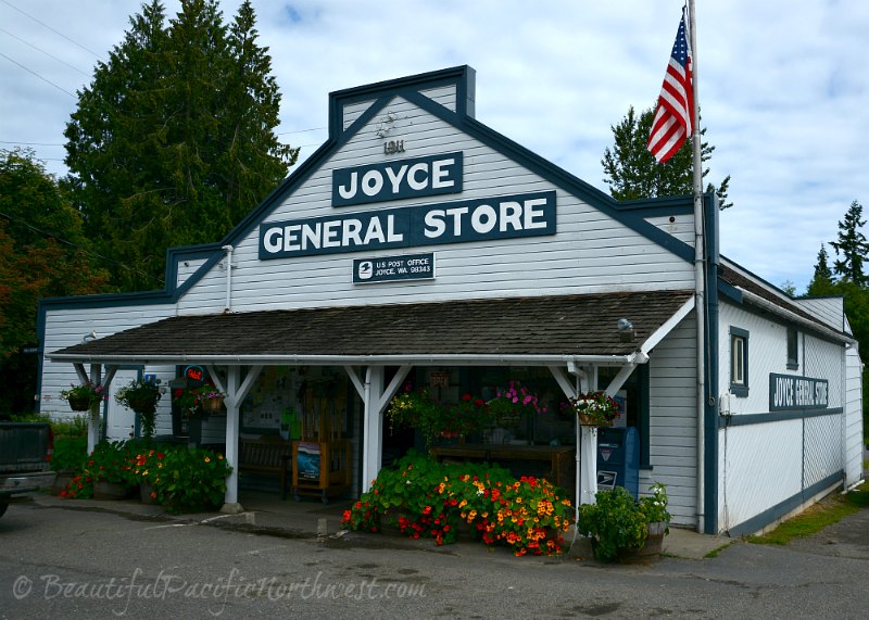
Joyce, Washington
Joyce, Washington: Small whistle stop (if that) along Highway 112 west of Port Angeles. But despite its diminutive size population-wise, check out what Joyce WA offers:
- Salt Creek Recreation Area
- Joyce General Store
- Joyce Historical Museum
- THE BEST blackberry pie you ever did sink your teeth into, especially in July and August (IF any is left by then)
Sister Villages: Clallam Bay and Sekiu
Clallam Bay Washington: Clallam Bay is situated west of Joyce, at the east end of the bay known as Clallam Bay, which is part of the Strait of Juan de Fuca, now also known as the Salish Sea.
Sekiu WA: Sekiu is a sister town to Clallam Bay, WA, being located on the west rim of Clallam Bay opposite the town of Clallam Bay.
The main focus of this fairly remote part of Clallam County is a little bit of tourism, and a whole lot of fishing, with a dash of logging thrown in.
Neah Bay Washington
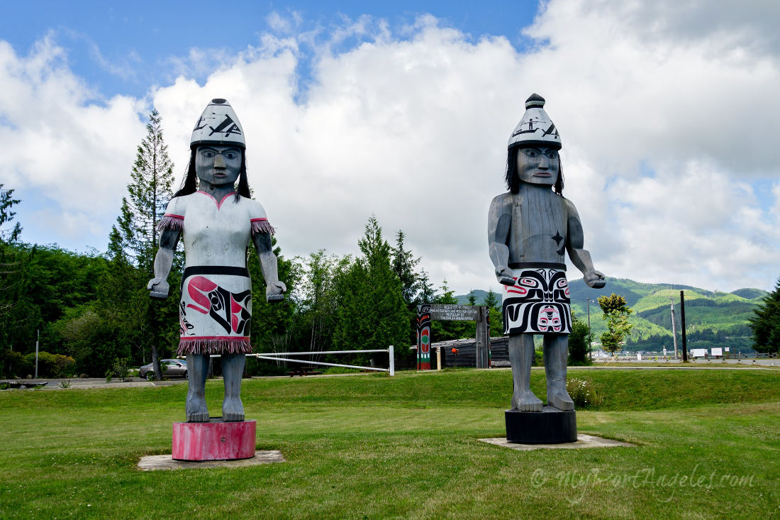
Neah Bay: Small Makah Indian Reservation village at the top left tip of Washington State's Olympic Peninsula.
- Makah Museum/Makah Cultural and Research Center. This is a world-class museum featuring Makah historical finds and the artifacts and understanding from an archeological dig in the Ozette region.
- Makah Days Festival in August. You're very welcome to attend!
- Cape Flattery: A memorable natural attraction accessed from Neah Bay. The trail to Cape Flattery will require up to 30 minutes to walk on possibly uneven surfaces, but the views at the other end are breathtaking.
- Shi Shi Beach, in the Olympic National Park. The trailhead is near Neah Bay. The trail is 2 miles to the beach, and the beach is 2 miles from stem to stern, and so beautiful.
West Olympic Peninsula
The village of Forks is the main population center in the west central Olympic Peninsula. Ten miles away is the Quileute village of La Push.
The remainder of the West Olympic Peninsula is taken up by the Hoh Rain Forest of the Olympic National Park. (Click the link to go down to Olympic National Park information on this page.)
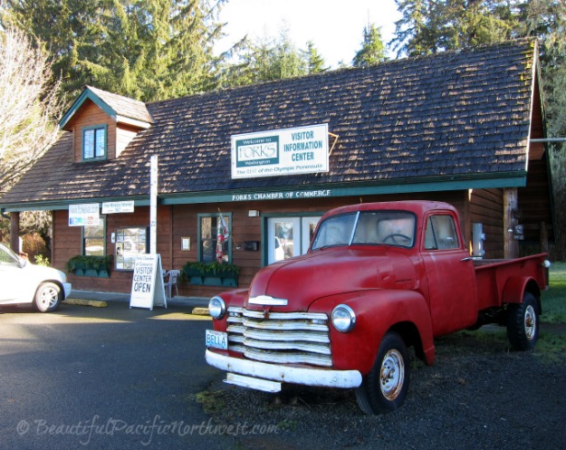
Forks, Washington
Forks, WA is located in the southwest part of Clallam County, and so is included in the term, "West End." It is located in the heart of Washington's temperate rain forest, and is recently famous as the setting for Stephenie Meyer's vampire novels, The Twilight Series. (Bella is the main love interest in the novels.)
- Forks Timber Museum
- Tour of a Lumber Mill
- If you're a "twi-fan," take a Twilight Tour which may include an evening hot dog roast on First Beach
- La Push and the Olympic National Park beaches are only 10 miles away
- The Hoh Rain Forest is less than an hour away.
La Push, Washington
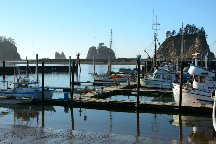
La Push, WA: Located 10 miles west of Forks on the Pacific coast, and is part of the Quileute Indian Reservation.
- First Beach (on the Quileute Reservation) is a stone's throw from the parking lot in La Push. Plus, whale watching from shore is possible during the months of March and April.
- Several Olympic National Park Beaches are also near La Push: Rialto Beach, Second Beach, and Third Beach.
- Quileute Days Festival in La Push in mid- June, and you're very welcome to attend!
Southern Olympic Peninsula
The Queets and Quinault Rain Forests make up the lion's share of the South Olympic Peninsula. But additionally, on the coast are all the Kalaloch beaches, including Ruby Beach. These rain forests and beaches are all a part of the Olympic National Park.
To the south of the Kalaloch Beaches and along the southwestern Pacific shores of the Olympic Peninsula is the home of the Quinault Nation.
- Amanda Park WA (located in the Quinault Indian Nation)
I'm not exactly certain where the Peninsula stops, and mainland Washington starts, but for completeness' sake...
Since Highway 101 wraps around the west, north, and east sides of the Olympic Peninsula, and since Highway 12 completes the Olympic Peninsula loop by connecting the west and east segments of Highway 101, we'll include the villages along Highway 12 as part of the southern reaches of the Olympic Peninsula.
- Aberdeen WA | Aberdeen WA Activities
- Hoquiam WA | Hoquiam WA Attractions
- Westport, WA | Westport WA Fishing Charters
- Ocean Shores WA | Ocean Shores Things to Do
Includes nearby Ocean City, Copalis Beach, and surrounding areas. From Port Angeles, whether you head east or west on Highway 101, it will take you less than 3.5 hours to get to Ocean Shores. - Montesano, Elma, and McCleary
- Shelton
East Side of the Olympic Peninsula
Hood Canal is a 70-mile fjord which is also the westernmost waterway in the Puget Sound region.
Highway 101 borders the Hood Canal from Brinnon to Potlatch. The area is incredibly scenic, and is dotted with little municipalities with names like Duckabush and Lilliwaup. If your drive includes mid-day, there are fresh oysters (raw or grilled) to be had in Hamma Hamma. I recommend!
Hoodsport
Hoodsport sits along the west shore of the Hood Canal. Such a charming village!
- Gateway to both Lake Cushman Recreation areas and Staircase Ranger Station and trail, both of which can be accessed by Hwy 119 in Hoodsport.
- Whimsical shopping opportunities
- Wine-tasting at the Hoodsport Winery
- Stop at the Hoodsport Coffee Company for ice cream, soup, sandwiches, and of course, terrific coffee.
Brinnon
Brinnon is situated along the west shore of the Hood Canal north of Hoodsport and Hamma Hamma.
- Dosewallips State Park - day use or overnight
- Whitney Nursery - during spring this nursery is awash in a rainbow of profuse color from rhododendrons, azaleas and more.
- If the weather is clear, make a detour up to the top of Mt. Walker, approximately 7.5 miles (12.35 km) north of Brinnon, for stunning views of Puget Sound, Mount Rainier to the east, and the Olympic Mountain Range to the west.
Getting to the Olympic Peninsula
Washington State Transportation: Check this page for details on different ferries, buses, car rentals, etc. Because local public transportation systems are disjointed, that is, not up to European standards or expectations, you will need your own vehicle, whether you own it or rent it.
Seattle Tacoma International Airport:If you fly in, SEA-TAC is your airport of choice.
- Remember as you search online for air fares and flights, to do so incognito so you won't pay an arm and a leg for your tickets.
- Alaska Airlines and Southwest Airlines are great carriers, and both have multiple flights in and out of Sea-Tac night or day.
Olympic National Park
The Olympic National Park comprises 40% of the Olympic Peninsula. Visitors to Port Angeles come here for many reasons, but I hope one of them is to visit the amazing destination that is Olympic National Park. Here is the main link to Olympic National Park information.
A few direct links to info and things to do:
